- 6 Posts
- 14 Comments

 1·2 years ago
Ah, but I’m doing edits all over the map. Selecting 50 crossings is tough when I don’t remember which ones I’ve done this session. They should really just fix this bug.
It adds
crossing:markings=no, which I feel like an unmarked crossing should have by default.
By “in bulk” do you mean the constance clicking back and forth between the right and left panes to upgrade each one individually?
Ah, I didn’t see the further examples! This is definitely the right choice. Thank you!
I don’t know a single person with a dedicated GPS anymore except sailors. Everyone uses Google Maps.
I focus on the small details when I’m out walking. I have the advanced version of Street Complete and I add every single bike rack, water fountain, phone booth, charging station, mail drop box, etc, that I see. It’s so convenient to be able to find these things when I need them later, and I’m sure other people will appreciate it as well.
OSM is not popular in Canada, partially due to a vicious cycle where there isn’t enough information filled in so people don’t use it so nobody contributes. I used it because in my old city the map was basically perfect (I think it was imported from City data,) and I had no data plan so I needed offline maps.
After I moved I noticed that the map was incomplete so I started contributing again. There are around 5 names in my area that I see contributing on a nearly daily basis. That might not seem like much, but I’ve singlehandedly nearly finished my neighborhood’s buildings and sidewalks in the last two months.
Still, get your friends into it. I showed a friend of mine who bikes OrganicMaps after Google Maps routed him on a 4" wide dirt footpath in the dark one night. He was sold right away when I showed him that he can search for water fountains. Another friend of mine loved how detailed OSM was compared to Google Maps and switched as well, and now they help me with Street Complete sometimes. Every bit helps.
Does that seem high, or low?
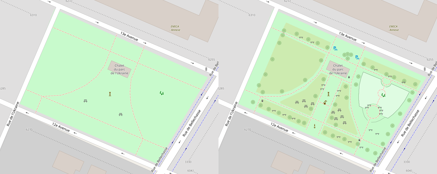
I wonder how one would choose which project to contribute imagery to.
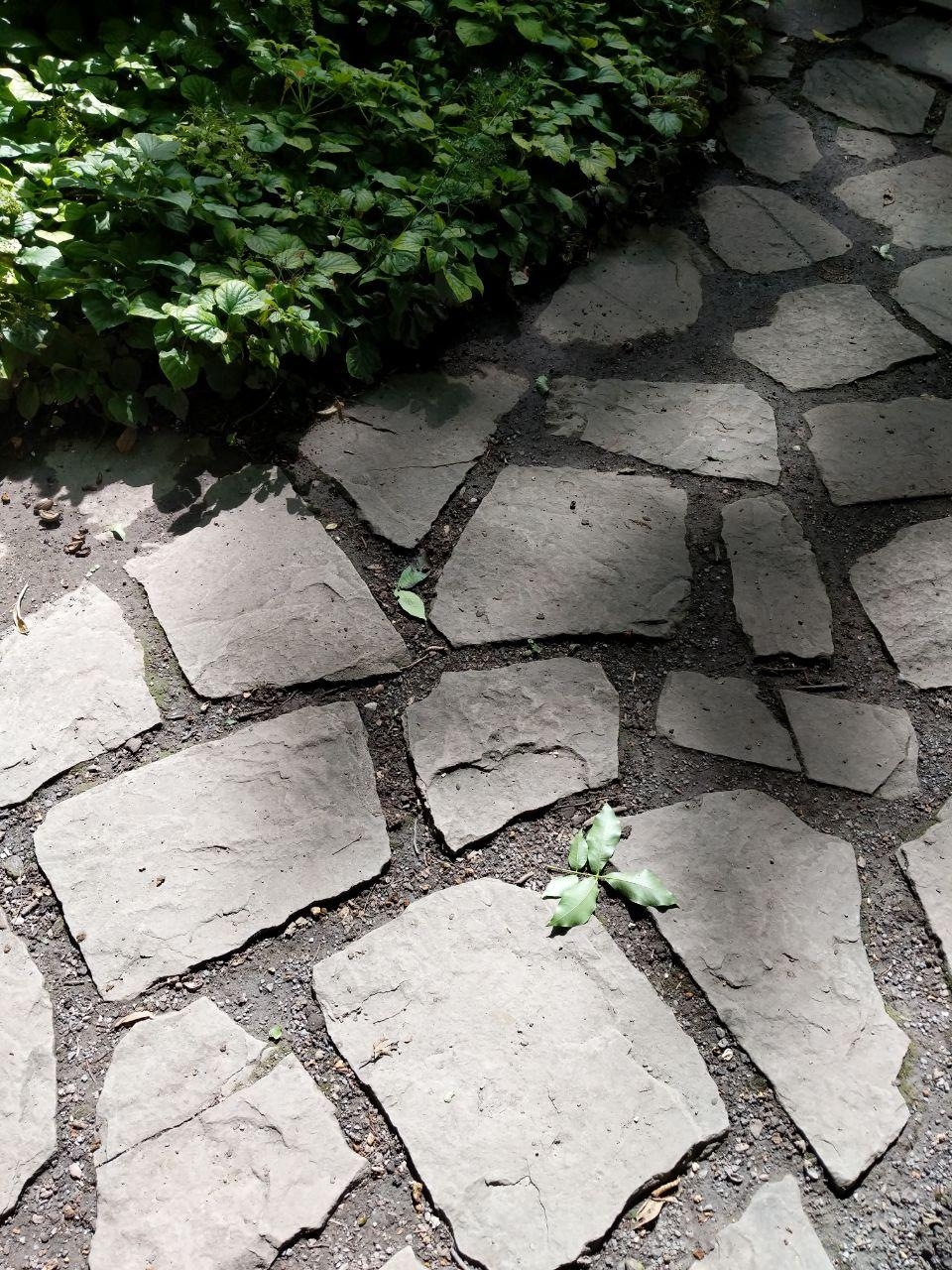
I did a write-up on how I have been mapping sidewalks to help out someone locally who was just starting out, and some asshole decided to come berate us for mapping sidewalks as separate ways (as was already the standard in our area) and for following the OpenSidewalks schema. They wouldn’t stop even after being asked multiple times.
I do hope they add moderators like the document mentions. I’ve had a bad interaction already that made me consider quitting contributing, and it seems like there’s no accountability for people who bully others as things currently stand.
Never had any issues.
F-Droid always has slower releases due to the vetting system.
I was just about to post the same question! It was my favourite way to plan my routes.
As a side question: does anyone know how to get a similar style in OSMAnd? The built-in views are not great for cycling. I know I can do a “layer” over top, but I don’t have data so it’s not a solution when I’m on the go. Plus, lately it seems to just be displaying the default OSM Carto style. :/
In the case of the café/bar, they are distinctly the same place. It’s actually something I’ve run across several times in different places, usually they’re more upscale than your typical café. Pretty good venue for a date that you’re not sure how long you want it to last!